Travel photography requires a lot of planning in advance. You want to get the very best out of your trip and don’t want to return home having missed out on something. There are a lot of free apps out there and here I share 8 free apps that I use on a regular basis to plan my photography.
Trover
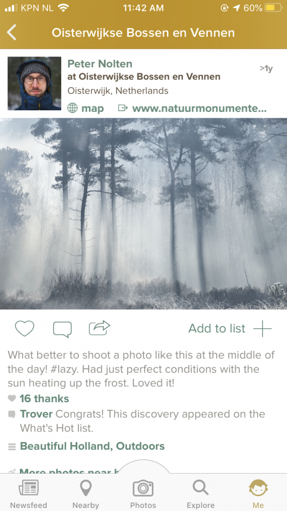
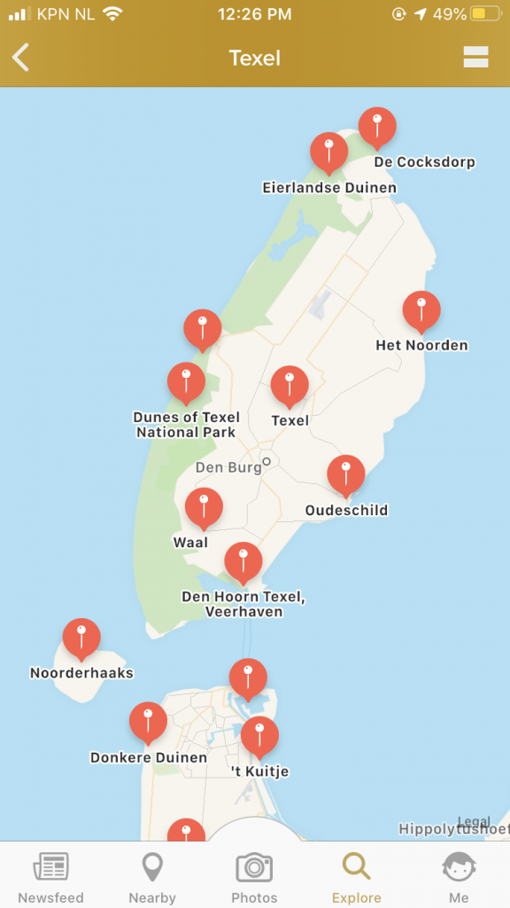
There are plenty of ways to find photography spots, such as Pinterest or from blogs. When I am headed to a new destination, I often check out the app Trover first. Travellers share their experiences by posting an image and tagging the location, making it easy for others to go to the same location or, in my case, to get an impression of possible images per location.
You can either search for a location or go to the Discover-page and click on images you like to find out where it’s located. Discover the best of everywhere!
Google Street View
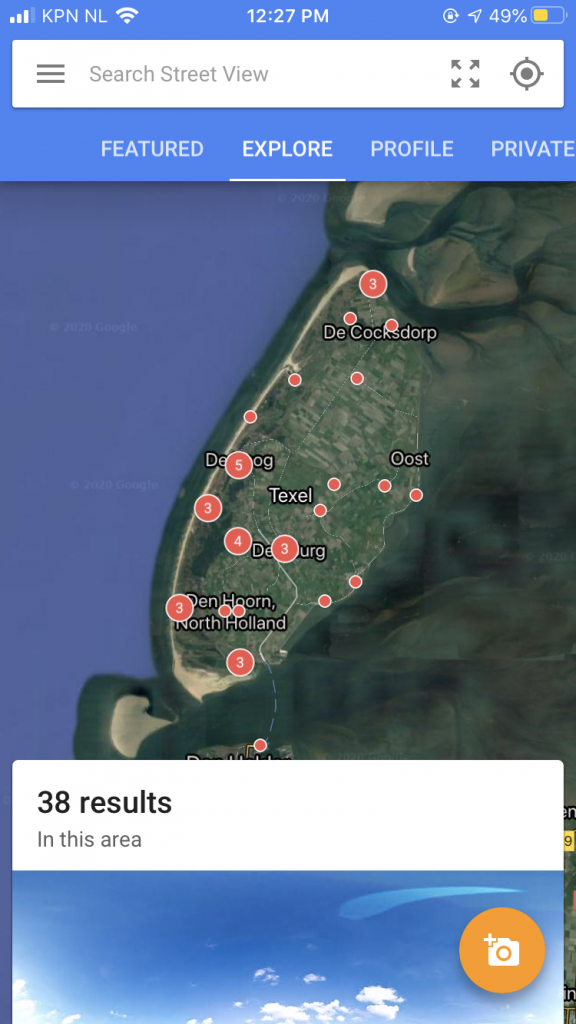
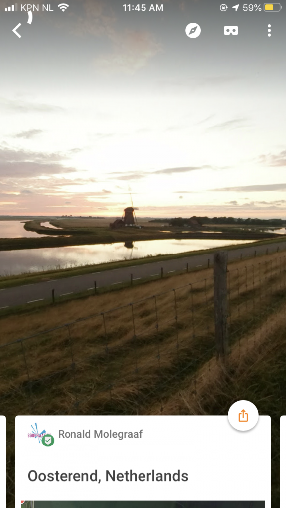
Once I have discovered a few places I start planning by using Google Street View. It gives you a 3D impression of the location you are headed to. You get an idea of the surroundings and allows you to discover the best view of the scene.
Maps.me
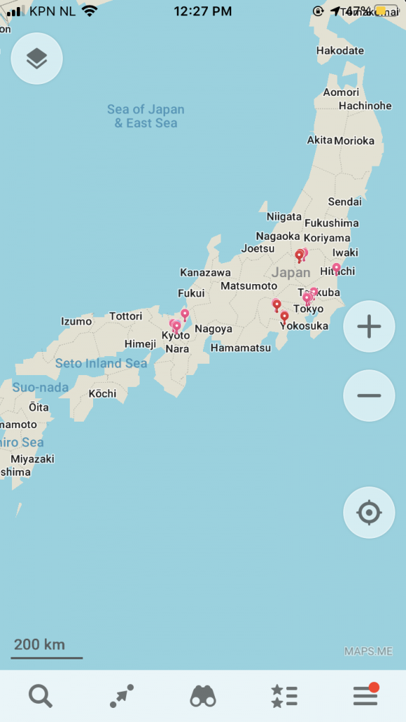
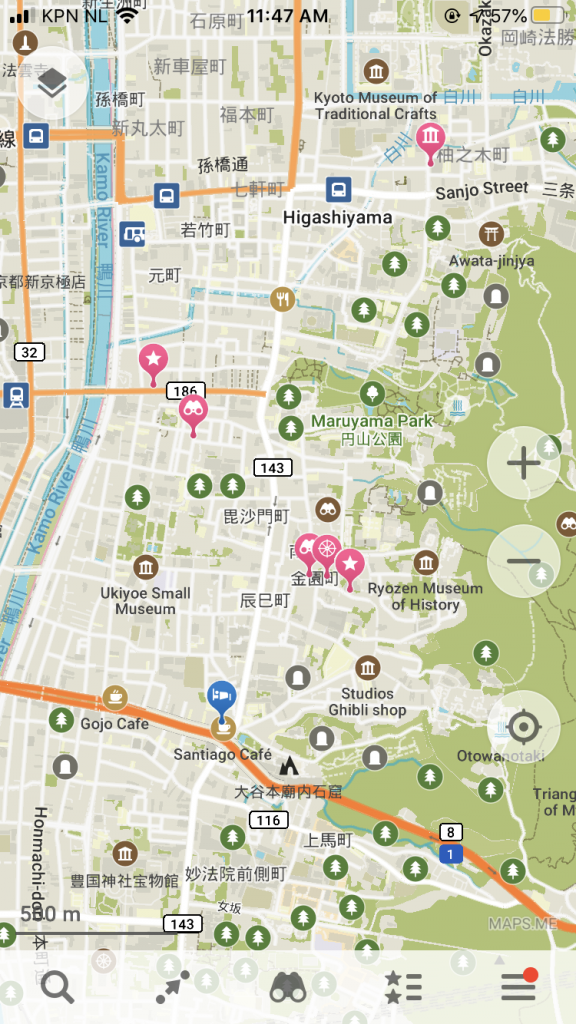
When I have discovered a good location in Google Street View, I mark that location in Maps.me. I especially like that Maps.me works offline, so no internet needed to find that location once on the destination.
Maps.me is very easy to organise, as you can add colors to your bookmarks and add them to different folders.
The content is generated by other users, such as map enthusiasts, where Google Maps for example uses their own data. There are therefore a lot more places to discover from other people’s (personal) experience. There are a lot of viewpoints added and it’s often worth checking them out.
Suncalc.net
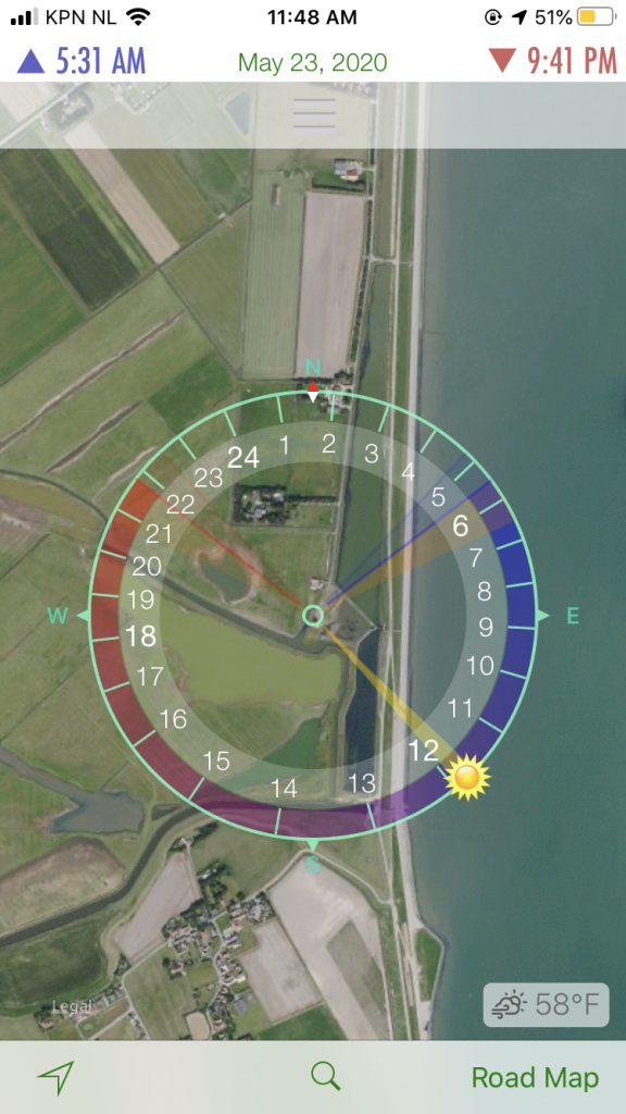
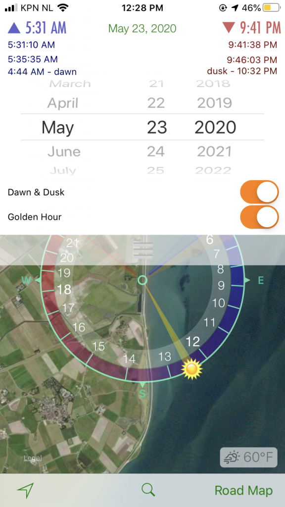
This app mainly shows you the sun path. You can set a date in the future (or use the current day) and find out where exactly the sun rises and where it goes under. If you wish, it can also include Golden hour.
Suncalc.net is extremely simple to use, as showing the sun path is basically all it does. Together with for example Google Street View, you can kind of figure out how the light will be for your image and if the light is being blocked by a higher building for example.
Download: iOS | Android – Not available, a similar app is Suncalc.org
Planets
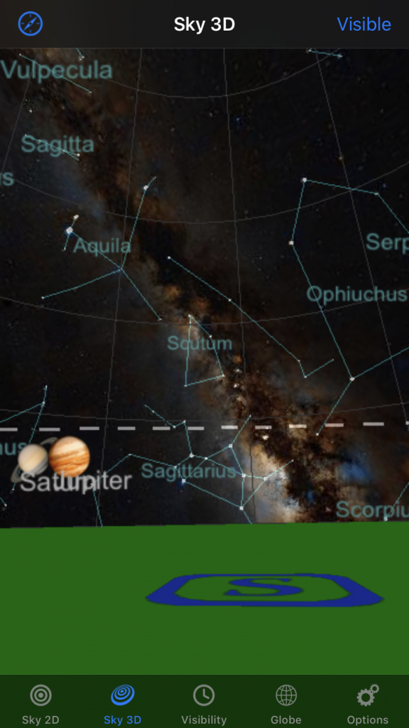
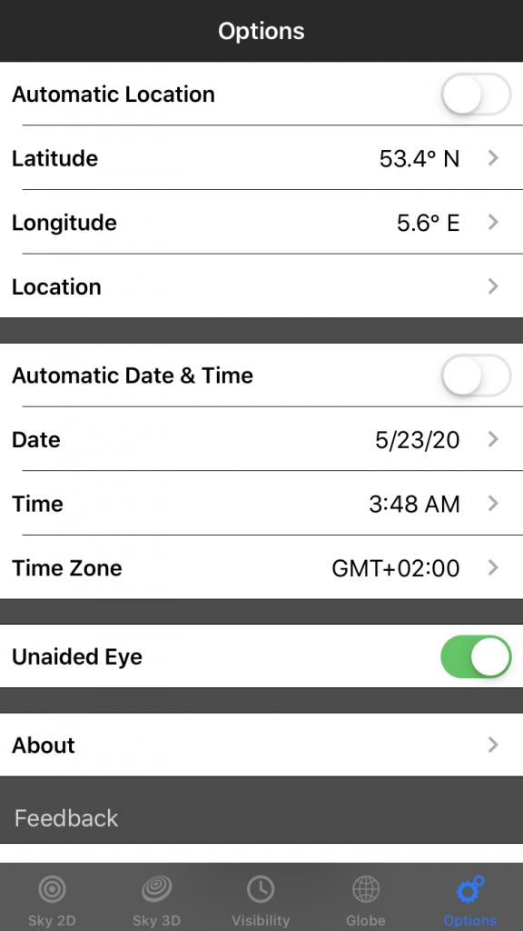
For astrophotography I like to use the app Planets. You can set a location anywhere in the world and even by entering a latitude and longitude if your location needs to be very precise. You then enter the date and time you plan to be at the location and through the 3D function you can see where for example the milky way will be or another planet you wish to photograph. Very cool!
Light Polution Map
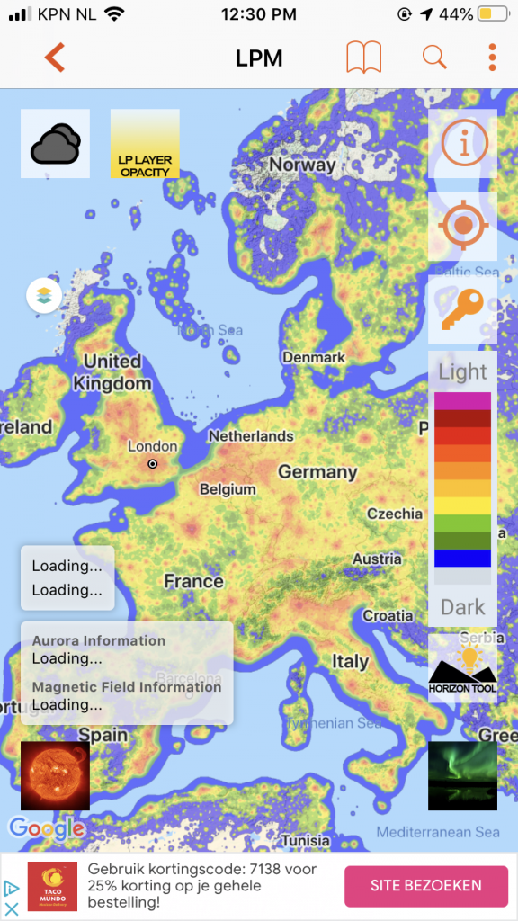
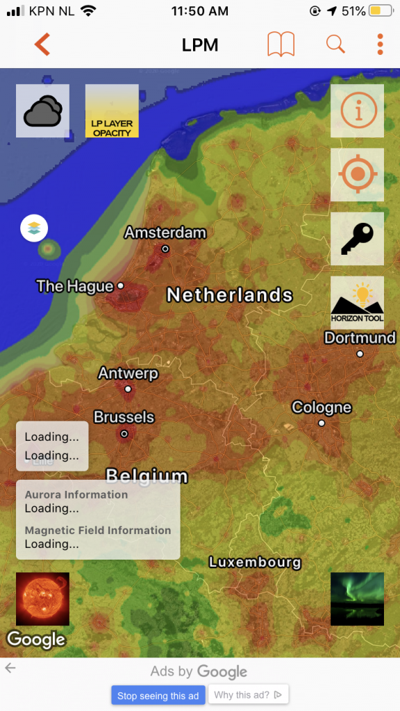
When you plan to photograph stars/startrails or the northern lights, there should not be any light polution at all. Even if we feel like a location is dark enough, it might not be. Especially not anywhere near a city. To see where it’s dark enough, I use Light Polution Map.
Spoiler: you might be shocked at first by how much light polution there is in the world!
Aurora Forecast.
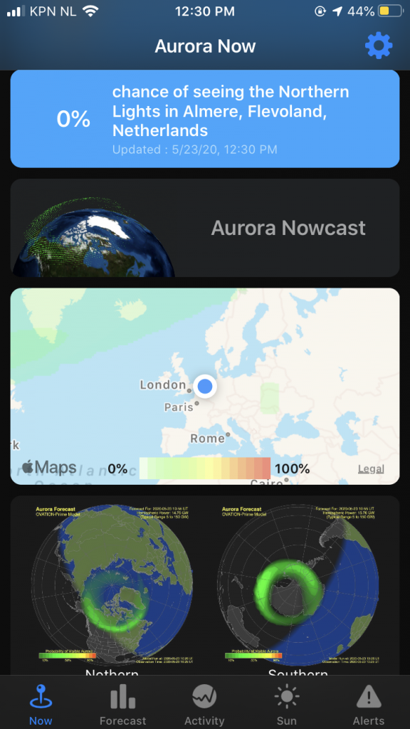
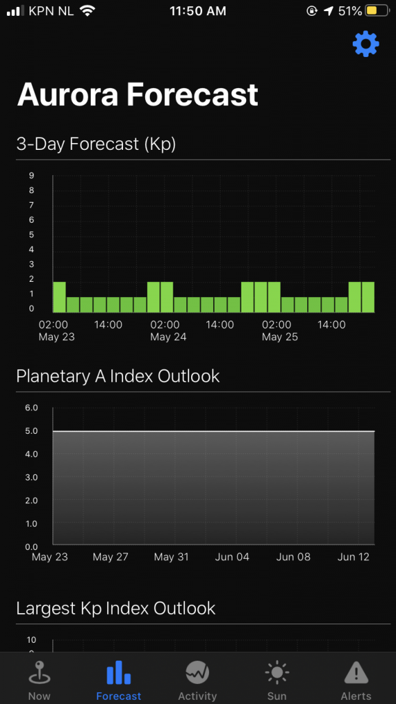
Photographing the Aurora Borealis requires a bit of planning as well. The northern lights are extremely hard to predict, especially if you are not familiar with the technical aspects. It can slightly be predicted 3 days in advance, but the most accurate predictions are only 20 minutes in advance. Assuming you are already in or nearby a place where it is dark enough, you should keep track on the Aurora activity. One app that more or less does the work for you is Aurora forecast. It shows the predictions for the next 3 days, so you can kind of plan on that. Though like I mentioned, predictions can change up to 20 minutes in advance, so you should always keep an eye on the sky when it’s clear and dark!
Download: iOS | Android – Not available, a slightly similar app is Northern Eye Aurora Forecast.
AuroraNow
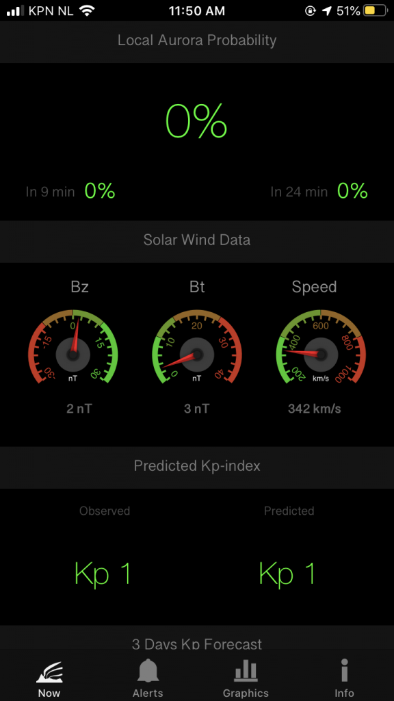
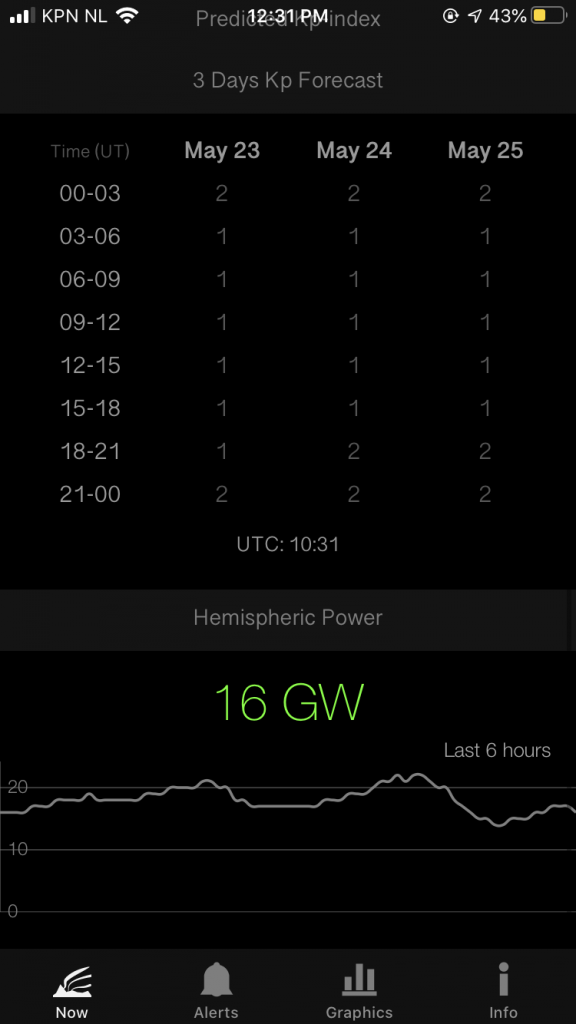
This is another Aurora forecast app, but this one shows your chances of seeing the northern lights in the next 20 minutes. It also shows the current solar wind, that is what creates the Aurora Borealis. Long, complicated story short: charged particals are being released from the sun’s atmosphere and they collide with the gaseous (oxygen and nytrogen) particals of our atmosphere. See, that is why the sun plays an important role in creating auroras.
The little meters you see show the solar wind data. The more the meters are in the red, the better. Does the app show good results in the meters, is your chance of visible auroras 15% or more and the sky clear? Go outside!
Download: iOS | Android – Not available, a similar app is Aurora Alerts





Leave a reply